|
|
|
|
|
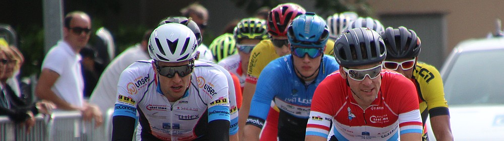
2nd Souvenir Marcel GILLES
cycling crits for (nearly) all categories
on Sunday, June 24, 2018
|
|
|
|
The 2nd Souvenir Marcel Gilles takes place on a hilly 9 kilometer course, with a climb of 1.200 meters at 5,2% medium gradient during each lap. Change in altitude is 113 meters per lap. Start and Finish are located in the rue de Moutfort in Contern, at the end of a straight line of 150 meters.
|
|
km
|
Place / street
|
crossroad
|
remark
|
|
|
Exit of CONTERN
|
|
|
|
0,5
|
CR234 rue de Moutfort
|
|
FAST DOWNHILL WITH SEVERAL TURNS
|
|
Ahead of MILBECH
|
|
|
|
1,8
|
CR234 rue de Contern
|
|
SHARP TURN TO THE RIGHT
|
|
MILBECH
|
|
|
|
2,2
|
CR234 rue de Contern
|
|
DOWNHILL WITH TURN TO THE LEFT
|
|
MOUTFORT
|
|
|
|
2,4
|
CR234 rue de Contern
|
|
SHARP DOWNHILL TURN TO THE RIGHT
|
2,6
|
CR132 rue de Medingen
|
|
SHARP TURN TO THE RIGHT
|
|
crossroads to Medingen
|
|
|
|
3,5
|
CR132 to Medingen
|
CR132 to Syren
|
SHARP TURN TO THE RIGHT
|
|
SYREN
|
|
|
|
6,5
|
CR132 rue de Moutfort
|
CR226 rue de Contern
|
SHARP TURN TO THE RIGHT
|
|
CONTERN
|
|
|
|
8,6
|
CR226 rue de Syren
|
|
DOWNHILL WITH SOME FAST TURNS
| | | | | | | |
Note: "This site contains links to other pages, on which content and presentation we don't have any influence. These refences are indicated merely for your information and and we can't be made reliable for any of the content of any of the places our links may take you to."
Contact: ACC Contern - c/o M. Alain Conter - 47, Op der Hobuch - L-5832 Fentange - acccontern@gmail.com
|
|